1 stage, 1 place to sleep
Open a stage to see what you pass and where to stay that night.
Planning the Carcross Singletrack Network — the practical guide
The Carcross Singletrack Network covers 30 km from Carcross to Carcross Commons in a single stage. It is designed as one committed day — start early and let the terminus town absorb the evening. You ride it in the order written, but every stage town works as an entry or exit point, so the route sections cleanly for shorter trips.
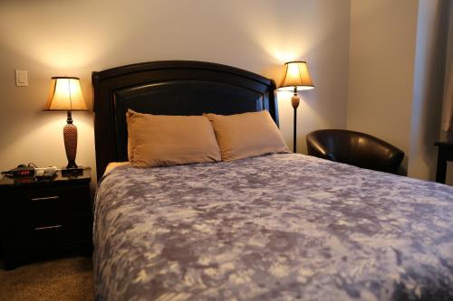
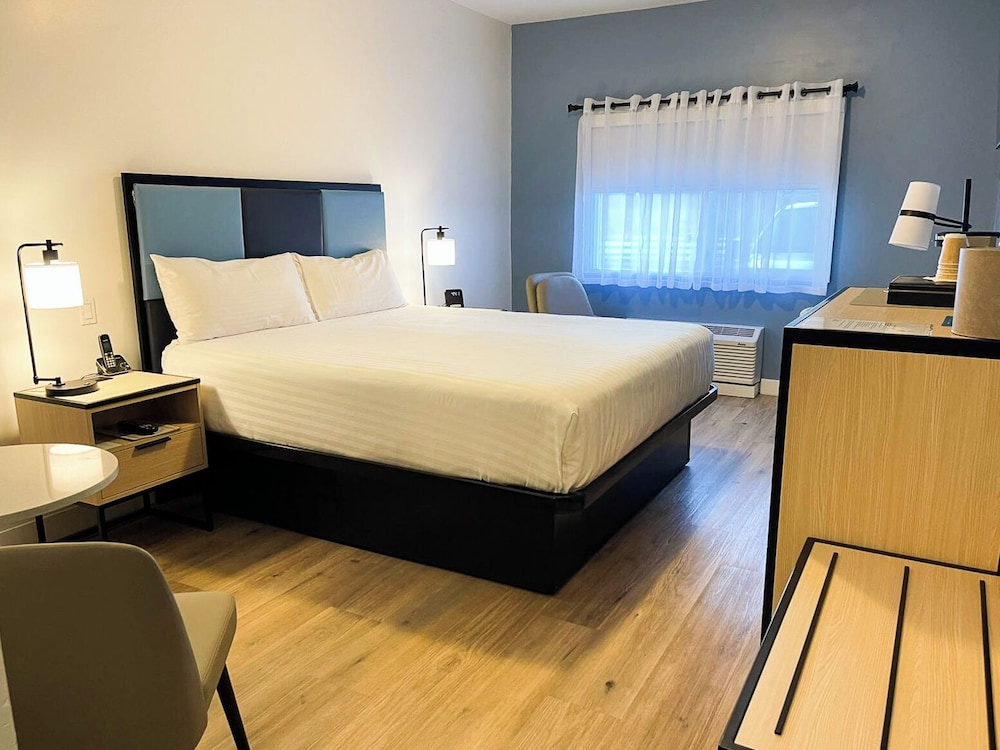
Overnights run Carcross — each bookable from the stage cards above. Book the smallest stops first: a village with a handful of guesthouses sells out weeks before a resort with fifty.
Planning & pacing
Yukon cycling divides into three worlds that barely overlap: purpose-built singletrack at Carcross, gravel and dirt road touring like the Ridge Road out of Dawson, and long paved highway tours on the Alaska, Klondike, and Haines Roads. Carcross is a destination in itself and now attracts riders from across Canada. The touring options are honest, quiet, and physically demanding — you will not see another cyclist for days on the Klondike Highway even in July.
Traffic is the good news and the practical constraint. Yukon highways are near-empty by any southern standard, but the shoulders are narrow to nonexistent and RVs make up a lot of the summer traffic. High-visibility clothing, a mirror, and a rear light in daylight are all standard for tourers here. For gravel routes like the Ridge Road, a hardtail mountain bike or a proper gravel bike with 45 mm+ tires is the minimum — a road bike will beat you up and be beaten in return.
When to go
The cycling season is mid-May to late September, with the sweet spot from mid-June to mid-August. Days are effectively endless — you can ride until 11 pm in June and it is still full daylight — which lets you break long tour days over cooler morning and evening sessions. The Carcross singletrack opens as soon as it dries out, usually late May, and rides beautifully into September.
Shoulder season riding in September is spectacular but you need to be ready for snow above 1,000 m and for temperatures near freezing overnight. The Haines Road climb toward Chilkat Pass is a stunning early September ride if you catch the fireweed and the low sun on the glaciers, but it is also exposed and the weather turns without warning. Once October arrives, riding on Yukon roads is essentially over — the surfaces frost up and the shoulders vanish under snow.
What to pack
Tour riders should carry the full self-sufficient kit: tools, two spare tubes, tire boots, a compact pump, and enough food for the gaps between services (which can be 200 km on the Klondike Highway). Bear spray in a bar-mounted holster, not buried in a pannier. A quality rain jacket and warm gloves for descents like the White Pass, which can be twenty degrees at the top of the climb and drizzling.
Carcross riders can travel light and rent locally — Icycle Sport in Whitehorse and the shop at Carcross Commons both service and rent quality bikes, and there is a proper shuttle service up Montana Mountain in season. Helmets and knee pads if you are riding the descents, and a hydration pack because the top of Mountain Hero is a long way from water. Bring your own pedals if you are particular.
Transport & logistics
Getting a bike into Yukon means either flying it in (Air North and Air Canada both accept boxed bikes, fees vary) or renting on arrival. For touring rentals, Kanoe People in Whitehorse and Boréale Explorers out of the Alaska Highway can set you up with a touring or gravel bike including panniers. For Carcross specifically, book shuttle slots ahead in July because weekend spots fill up.
The Klondike Highway and Alaska Highway both have widely spaced but reliable campgrounds, government-run and cheap, roughly every 60 to 100 km. Motels and lodges are less predictable — Braeburn Lodge, Carmacks Hotel, Moose Creek Lodge, Stewart Crossing all work as indoor stops on a Whitehorse–Dawson tour, but call ahead in shoulder season because closures happen without notice.
Eating along the route
For tourers, roadhouses along the Klondike and Alaska Highways are your restaurants — big portions, calories that matter after 100 km. Braeburn's cinnamon bun is a legitimate meal replacement. In Carcross the Bistro on Bennett and the Caribou Crossing food trucks in season are what you eat after the shuttle drops you back at the Commons.
In Whitehorse, Yukon Brewing's tap room and Winterlong Brewing both do food-friendly beer and are the standard post-ride stops for the local cycling community. Grab a coffee and a savoury scone at Baked Café on the way out of town in the morning.
Safety & local rules
High-visibility gear and a mirror are the two things that make Yukon touring viable. RV traffic on the Alaska and Klondike Highways is not heavy but it is fast and the drivers are often tired. Ride early, get off the road by mid-afternoon on summer days, and never assume you have been seen.
Wildlife on the shoulder is a real cycling hazard in a way it is not for drivers — you are silent, you are small, and a startled bear can react before it thinks. Bear bells are largely useless, human noise is not. Talk to your riding partner, sing if you are alone, and give any bear you see a very wide berth and a full stop.
Carcross Singletrack Network: questions, answered
Hotels along this route
See all stays →Curated picks are coming — meanwhile, the live search covers every bookable property at the same price or better.