1 stage, 1 place to sleep
Open a stage to see what you pass and where to stay that night.
Planning the Millennium Trail, Whitehorse — the practical guide
The Millennium Trail, Whitehorse covers 5 km from Rotary Peace Park to Riverdale in a single stage. It is designed as one committed day — start early and let the terminus town absorb the evening. You walk it in the order written, but every stage town works as an entry or exit point, so the route sections cleanly for shorter trips.
Overnights run Whitehorse — each bookable from the stage cards above. Book the smallest stops first: a village with a handful of guesthouses sells out weeks before a resort with fifty.
Planning & pacing
Yukon walking splits cleanly into three categories: town walks like the Millennium Trail in Whitehorse that need nothing more than shoes, big-name backcountry routes like the Chilkoot and the Tombstone circuits that need permits reserved months ahead, and everything else — a huge network of unmarked or lightly marked routes in Kluane and the Ogilvies where you are on your own. Decide which you are doing before you fly in, because the permit windows for the marquee trips open in January and February and fill within days.
For the Chilkoot Trail, Parks Canada caps overnight permits on the Canadian side and the US National Park Service does the same on the American side, so the trail is genuinely quiet on the pass. Tombstone runs the same style of quota system through Yukon Parks and there is no walk-up option in July or August. Day hikes in Tombstone and Kluane need no permit but you should sign in at trailhead registers and, in Kluane, get a wildlife briefing at the Haines Junction visitor centre before heading out.
When to go
The trekking window is short: mid-June to mid-September for anything above treeline, with prime conditions in the second half of July and the first three weeks of August. Earlier and you will hit snow on the Chilkoot Pass and Grizzly Lake, later and the tundra is glorious with red bearberry but weather turns fast. Larch season in Tombstone falls in the first week or two of September and is the most beautiful week of the year to be up there — bring proper cold-weather gear because it can snow every night.
The mosquitoes deserve a paragraph of their own. Late June and the first two weeks of July are the peak; a head net is not optional, and campsites in willow zones can be miserable regardless of DEET. By early August they thin considerably and by late August they are gone. If bugs ruin trips for you, aim for the last third of August — you trade the midnight sun for real dark and cooler nights but the walking is far more pleasant.
What to pack
For backcountry trips assume near-freezing nights even in July, cold rain as the default weather, and rivers you will have to ford. Bring a proper synthetic or down insulation layer, a real rain shell (not a windbreaker), gaiters for the tundra hummocks, and lightweight camp shoes for creek crossings. A bear canister is not required on the Chilkoot or in Tombstone — bear-proof storage is provided at every designated camp — but bear spray on your hip belt is standard practice.
For day walks the answer is: more layers than you think, more water than you think, and bear spray. Kluane trails climb fast and get windy above treeline; the King's Throne can be sunny at the lake and snowing at the summit ridge two hours later. Cell coverage does not exist outside town. A satellite messenger — an inReach or similar — is the norm for any solo walking, and a lot of guided day trips will not take you without one.
Transport & logistics
The Chilkoot requires the most planning. You start in Dyea, Alaska (a taxi ride from Skagway) and finish at Bennett, BC, from where the traditional exit is the White Pass & Yukon Route train back to either Skagway or Carcross on scheduled hiker service days. Book train seats when you book the permit, because if the train is full your only option is the 11 km walk out to the highway from Bennett, which is a rough finish to an already hard week.
Tombstone trailheads sit at km 58.5 of the Dempster, which is about 90 minutes from Dawson. There is no shuttle — you drive, park, and walk in from the same trailhead. The Interpretive Centre at km 71.5 is the place to pick up bear canisters if required, get a weather briefing, and confirm your permit. For Kluane day hikes the Haines Junction visitor centre is the single most useful stop in the whole park: real-time trail conditions, bear activity reports, and staff who will tell you honestly if today is not the day.
Eating along the route
You carry everything on the multi-day walks — there are no huts, no serviced lodges, and no food caches. Whitehorse has two good outdoor stores (Coast Mountain Sports and Sports Experts) that stock the usual freeze-dried brands, and the Real Canadian Superstore is where locals resupply for real food. Bulk oats, dry salami that keeps forever, hard cheese, and Cliff Bars form the backbone of most Chilkoot and Tombstone menus.
Coming off the trail, the reward meals are real. In Skagway after the Chilkoot the Skagway Brewing Company and the Bonanza are the two obvious stops. Off Tombstone, drive the 90 minutes back to Dawson and eat at Sourdough Joe's or, for a proper sit-down, the Aurora Inn. In Haines Junction after a Kluane day, the Village Bakery does the best post-hike coffee and sandwich in the territory.
Safety & local rules
Grizzly and black bear country is every trail we describe. Make noise, travel in groups where possible, hang food or use provided bear caches, and carry bear spray somewhere you can actually reach it. The Yukon government offers free wildlife-awareness talks in Haines Junction and Dawson in summer and they are genuinely useful even for experienced hikers from bear country elsewhere.
River crossings are the underrated risk. Glacial-fed streams in Kluane and Tombstone are lowest in the morning and can rise fast by afternoon; the crossing you skipped through at breakfast may be waist-deep by dinner. Unbuckle your hip belt, face upstream, use poles, and if it does not feel right, wait or turn back.
Millennium Trail, Whitehorse: questions, answered
Hotels along this route
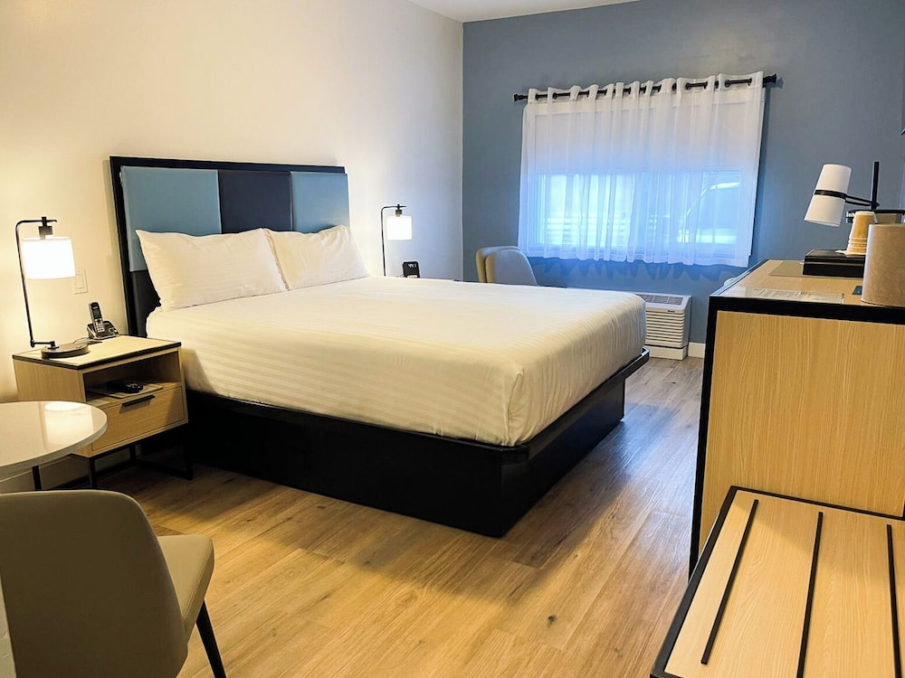
See all stays →Curated picks are coming — meanwhile, the live search covers every bookable property at the same price or better.